The British Army has tested a new navigation capability from Israel’s Rafael in environments without access to GPS.
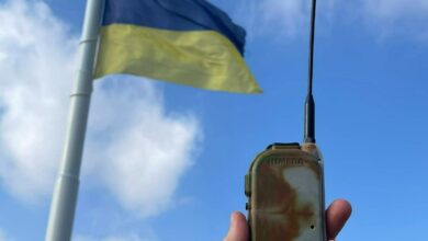
During the demonstration, ground troops operated Rafael’s Footprint platform throughout various simulations, such as scouting missions in buildings, open areas, and underground.
The navigation system was connected to a civilian team awareness kit that allowed the dismounted soldiers to carry out missions in any position across a site.
‘A Crucial Edge’
According to Rafael, the system assisted soldiers in moving and self-positioning in spots where traditional GPS functions were unavailable.
The capability also relayed accurate images of deployment locations to commanders.
“We are proud to see how UK soldiers could use Footprint to complete their mission and demonstrate precisely how this solution provides a crucial edge in the modern battlespace,” Rafael Multi-Domain Warfare Directorate Head Shmuel Olansky said.
“Footprint will allow higher command to better direct its troops and help prevent cases of friendly fire in a complex space.”
“We thank the British Army for hosting our delegation and demonstrating our system’s practical applications.”
Footprint Navigation for Israeli Forces
Earlier this year, Rafael signed a contract to supply the Israel Defense Forces with the Footprint system.
The capability will be integrated into Israel’s existing Battle Management System and communication systems, enabling higher command to track the precise locations of ground soldiers.